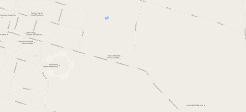
So, it’s raining off and on, and taking a moment’s break from my usual tasks I decided to do something different. Looking at the weather map to see the rain occurring in the area always shows blank corridors. Obviously, these blank areas are either deliberate or caused by obstruction (radar being line of sight and all). Anyway, a screengrab and a couple stroked paths later and I have this:
A quick look at google maps and the location appears to be the NOAA station here:
Fun stuff!


